boreal forests
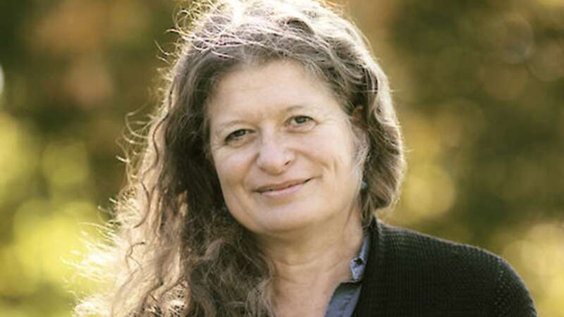
Dr. Justina Ray: Listening to the Land
Dr. Justina Ray is not only protecting Canada’s wild spaces – she is about redefining how conservation itself is done. As President and Senior Scientist of Wildlife Conservation Society Canada, she has built a career that reaches far beyond field biology, asking what it truly means to sustain life across landscapes that shape both ecology and identity.
Her work has taken her to the tropical forests of Asia and Africa, the vast boreal and sub-arctic zones of Canada, and many places in-between guided by a singular conviction: science must serve the future of the living world.
Ray’s path into northern conservation began with questions rather than assumptions. How do wolverines and caribou survive when their ranges fragment? What happens when the climate itself becomes a moving target?
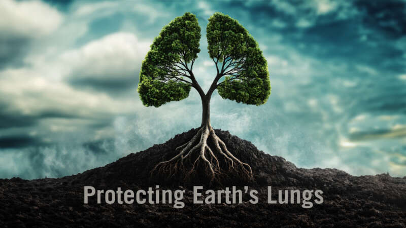
Protecting Earth’s Lungs
Forests act as the planet’s terrestrial lungs. They provide us with fresh air, clean water, beautiful vistas and a sanctuary for countless wildlife.
But, today, more than ever, our forests are facing unprecedented threats from disease, climate change, mad-made destruction and harmful pests.
Join this documentary as it follows a group of professionals that developed, tested and formulated today’s forest health strategies to preserve the legacy of one of the planet’s most important resources – and to help us better understand and appreciate why we need to protect our forests.
This is a story that affects us all.
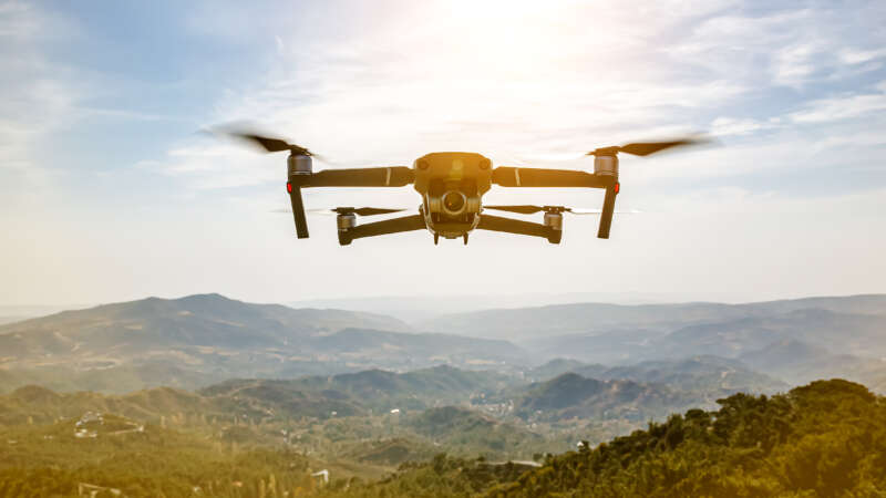
The Role of Technology in Forest Management
In Brazil’s Pará region, new roads are cutting through the pristine Amazon rainforest, opening up once-untouched areas to human activities. Expansive stretches of lush greenery are vanishing at an alarming pace, yielding to barren patches and freshly cleared land.
Meanwhile, far into space, the European Space Agency captures high-resolution satellite images of the region that unveil an important pattern: deforestation occurs predominantly near these newly constructed roads.
Back in 2016, it sparked a question: what if there were a tool to monitor these roads and forecast potential deforestation areas? Not long after PrevisIA was born.
In 2021, Microsoft with Vale Fund and the Amazon Institute for Man and the Environment (Imazon) developed a new AI tool called PrevisIA, to predict deforestation hotspots in the Amazon. Using satellite imagery from the European Space Agency and an algorithm developed by Imazon, the tool produces heat maps showing the most exposed conservation areas, Indigenous lands, and other settlements, along with rankings for states and municipalities.