reforestation
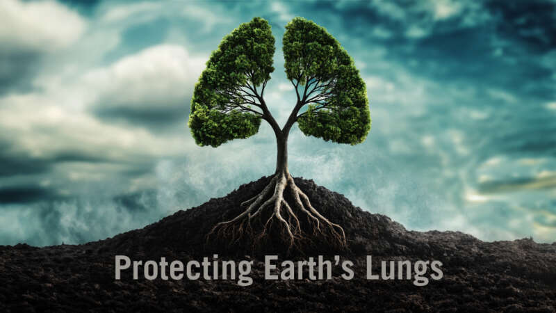
Protecting Earth’s Lungs
Forests act as the planet’s terrestrial lungs. They provide us with fresh air, clean water, beautiful vistas and a sanctuary for countless wildlife.
But, today, more than ever, our forests are facing unprecedented threats from disease, climate change, mad-made destruction and harmful pests.
Join this documentary as it follows a group of professionals that developed, tested and formulated today’s forest health strategies to preserve the legacy of one of the planet’s most important resources – and to help us better understand and appreciate why we need to protect our forests.
This is a story that affects us all.
Reforesting the Planet, Restoring the Future
The preservation of the planet’s biodiversity relies entirely on how we manage and interact with the world’s forests.
Reforestation is a critical strategy for mitigating climate change because it increases the Earth’s capacity to absorb carbon dioxide (CO₂) – the main greenhouse gas driving global warming – while also enhancing ecosystem resilience.
In particular, we look at recent studies investigating the most cost-effective approaches to reforestation and the mitigation of climate change. For many years, forest managers have been asking which is best: allowing forests to naturally regenerate, on the one hand, or to plant new forests?
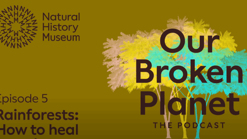
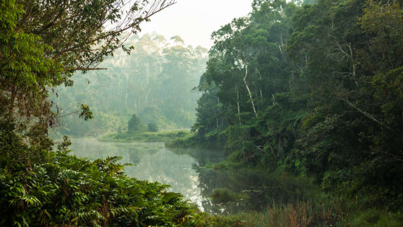
Our Broken Planet: How to heal our rainforests
Breathe in. Breathe out. The oxygen flowing through your body is the result of photosynthesis: the natural process through which living things convert sunlight into energy. About 30% of land-based photosynthesis happens in tropical rainforests. Rainforests are also great at sucking up excess carbon from the atmosphere – something we know we’ve got to do more of.
But in recent years, rainforests have been getting constricted: shrinking in size and choked up with smoke.
Listen to this podcast from the National History Museum to find out what’s going on and how we can help rainforests breathe deeply again.
Jacques Régnière: Budworm to BioSIM
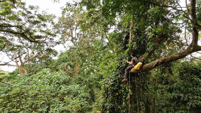
Jacques Régnière, born in Quebec City, has dedicated over four decades to advancing our understanding of forest pests and protecting our global forests. Earning his bachelor’s degree in biology from Laval University and a Ph.D. in insect ecology and biomathematics from North Carolina State University, Régnière began his career at the Canadian Forest Service in 1980, where he served until his retirement in 2024.
Throughout his distinguished career, Régnière focused on pressing issues in forest ecology, notably the population dynamics of the spruce budworm, mountain pine beetle, and spongy moth. His work in quantitative ecology has influenced pest management practices and provided a better understanding of climate change’s impact on invasive species and forest health.
Purdue launches new AI-based global forest mapping project
Purdue University’s Jingjing Liang has received a two-year, $870,000 grant from the World Resources Institute to map global forest carbon accumulation rates.
“To accurately capture the carbon accumulation rates of forested ecosystems across the world has always been a challenging task, mostly because doing so requires lots of ground-sourced data, and currently such data are very limited to the scientific community,” said Liang, an associate professor of quantitative forest ecology and co-director of the Forest Advanced Computing and Artificial Intelligence Lab.
“This task is considerably more challenging than mapping carbon emissions from forest loss,” said Nancy Harris, research director of the Land & Carbon Lab at the World Resources Institute, a nonprofit research organization based in Washington, D.C. “With emissions, there’s a clear signal in satellite imagery when trees are cut, leading to a big drop in forest carbon stocks and a relatively abrupt pulse of emissions to the atmosphere. With sequestration, forests accumulate carbon gradually and nonlinearly.”
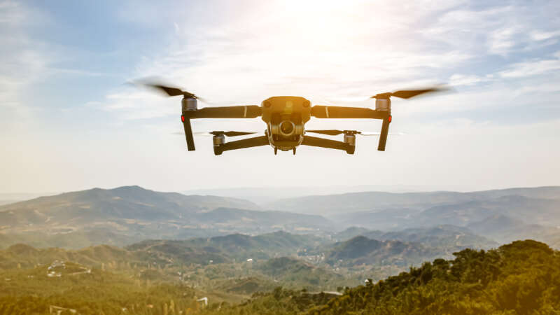
The Role of Technology in Forest Management
In Brazil’s Pará region, new roads are cutting through the pristine Amazon rainforest, opening up once-untouched areas to human activities. Expansive stretches of lush greenery are vanishing at an alarming pace, yielding to barren patches and freshly cleared land.
Meanwhile, far into space, the European Space Agency captures high-resolution satellite images of the region that unveil an important pattern: deforestation occurs predominantly near these newly constructed roads.
Back in 2016, it sparked a question: what if there were a tool to monitor these roads and forecast potential deforestation areas? Not long after PrevisIA was born.
In 2021, Microsoft with Vale Fund and the Amazon Institute for Man and the Environment (Imazon) developed a new AI tool called PrevisIA, to predict deforestation hotspots in the Amazon. Using satellite imagery from the European Space Agency and an algorithm developed by Imazon, the tool produces heat maps showing the most exposed conservation areas, Indigenous lands, and other settlements, along with rankings for states and municipalities.
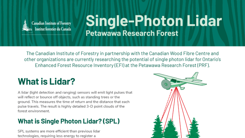
Single-Photon Lidar
The Canadian Institute of Forestry in partnership with the Canadian Wood Fibre Centre and other organizations are currently researching the potential of single photon lidar for Ontario’s
Enhanced Forest Resource Inventory (EFI) at the Petawawa Research Forest (PRF).
What is Lidar?
A lidar (light detection and ranging) sensors will emit light pulses that will reflect or bounce off objects, such as standing trees or the ground. This measures the time of return and the distance that each pulse travels. The result is highly detailed 3-D point clouds of the forest environment.