Reuben Wu, a multidisciplinary artist who utilizes aerial lighting with drones and long-exposure photography, to tell compelling stories about the world we inhabit.
Wu has helped redefine contemporary landscape photography, and his work is featured in the permanent collections of the Guggenheim Museum, The Metropolitan Museum of Art, and the MoMA.
In the middle of a muddy field next to a reservoir in north-western Malawi, a team of scientists are hard at work. Boxes of equipment lie scattered around a patch of dry ground, where a scientist programmes an automated drone flight into a laptop perched on a metal box. The craggy peak of Linga Mountain (‘watch from afar’ in the local language) looms over the lake, casting its reflection in the water.
With a high-pitched whirr of rotor blades, the drone takes off and starts following the shoreline, taking photos as it goes. Once the drone is airborne, the team switch from high-tech to low-tech mode. They collect ladles, rulers and plastic containers and squelch through mud until they reach the water’s edge.
Achieving global vector control’s potential requires “realigning programs to optimize the delivery of interventions that are tailored to the local context [and]…strengthened monitoring systems and novel interventions with proven effectiveness.” This includes “integration of non-chemical and chemical vector control methods [and] evidence-based decision making guided by operational research and entomological and epidemiological surveillance and evaluation.”
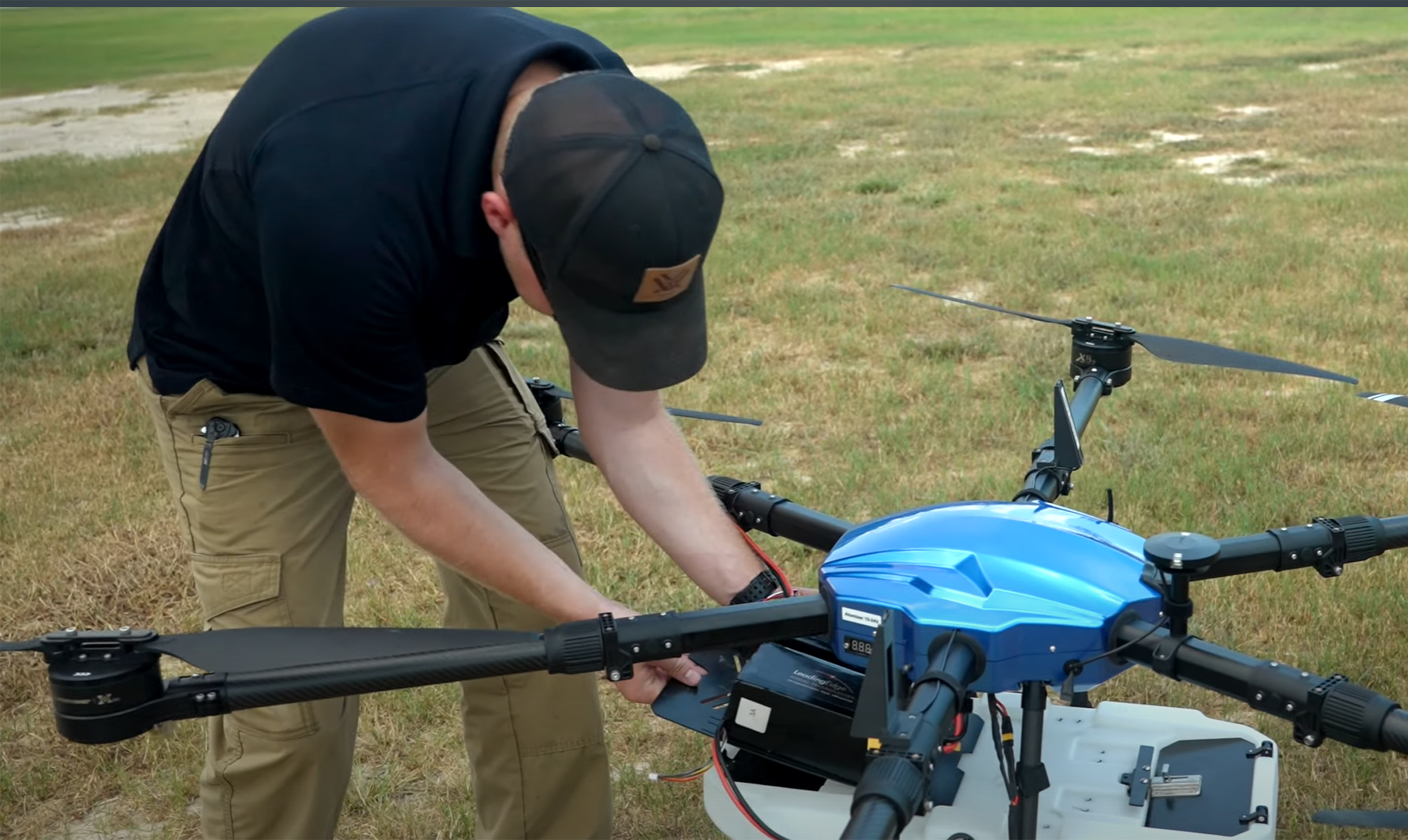
Drones or “unmanned aerial vehicles” (UAVs) can save time and money compared to conventional ground-based surveys. Sophisticated models and monitoring equipment can be purchased for a few thousand dollars. They don’t require a pilot’s license, they are becoming easier to fly, and their paths can be fully automated through AI, machine learning, global positioning systems, and computer vision.