Climate
A New Kind of Urban Firestorm
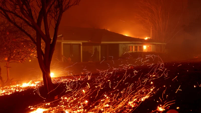
Everything around Walker Savage was smoke. Smoke and embers and broken tree limbs and the relentless roar of the wind. Wearing a respirator and goggles from his woodworking studio, he sprayed his garden hose into the gale, hoping to wet the walls and porch of his 99-year-old adobe house enough to keep them from igniting.
But then he saw the flames come surging down the mountain above his home in east Altadena, California: “It was like an avalanche,” Savage said. “But not of snow — it was of fire.”
More than a week later, Savage is still trying to wrap his mind around the Eaton Fire, which killed at least 16 people, destroyed an estimated 7,000 structures and is still only 45 percent contained. The flames moved faster than firefighters could fight them, reaching deep into the suburb to scorch houses well outside the state-designated risk zone.
The Age of Firestorms
Dr. Roslyn Prinsley never imagined that stepping outside her home in Canberra would feel like walking into a smoke-filled abyss. But during Australia’s devastating bushfire season in 2019-2020, even in places untouched by flames, the air was so thick with smoke that breathing felt impossible.
“I asked myself, what are we doing here in the 21st century? We can’t actually go outside and breathe fresh air in one of the cleanest countries in the world,” she remembers thinking. “We can’t let this keep going.”
Dr. Roslyn Prinsley is the Head of Disaster Solutions at the Australian National University’s Institute for Climate, Energy & Disaster Solutions (ICEDS). Finding innovative ways to fight wildfires is part of her daily work – a task that has become more urgent than ever as wildfires grow increasingly frequent in Australia and across the globe due to climate change.
Wildfires are projected to rise 30% by the end of 2050, according to a report by the UN Environment Programme (UNEP) and its partner GRID-Arendal.
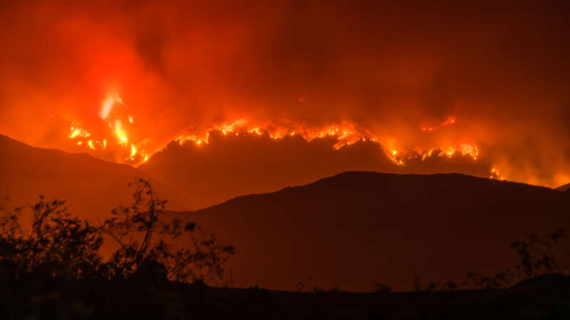
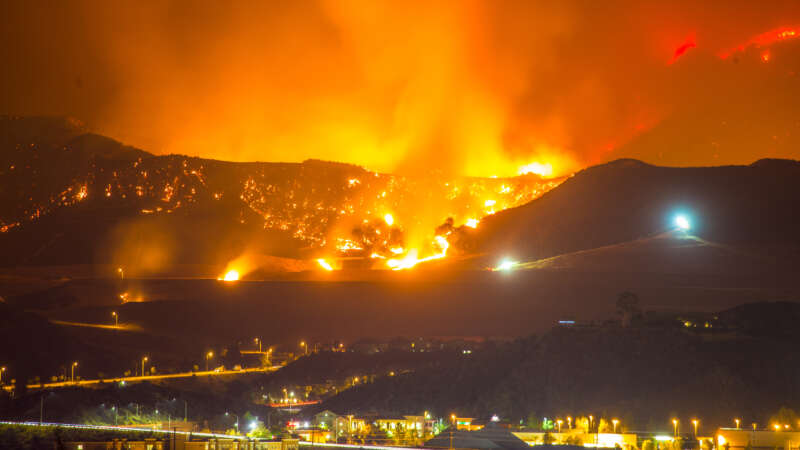
One of the recent wildfires in California became the most destructive in Los Angeles history, killing at least 29 people—a number expected to rise—and reducing over 10,000 homes to ash. A perfect set of environmental factors such as long-term drought, preceding heavy rainfall, and hurricane-force Santa Ana winds combined at the worst possible moment.
All of this turned the regular wildfire into what’s called a firestorm.
Inside the L.A. Firestorm
The 2025 LA Wildfires were among the most destructive and costly in U.S. history, driven by a combination of shifting climate patterns and growing development in fire-prone areas. As these types of fires become more common, it raises important questions about how we prepare for and respond to future risks. In this PBS video, experts explore the factors behind the firestorm and what can be done to reduce the impact of similar events going forward.
Jacques Régnière: Budworm to BioSIM
Jacques Régnière, born in Quebec City, has dedicated over four decades to advancing our understanding of forest pests and protecting our global forests. Earning his bachelor’s degree in biology from Laval University and a Ph.D. in insect ecology and biomathematics from North Carolina State University, Régnière began his career at the Canadian Forest Service in 1980, where he served until his retirement in 2024.
Throughout his distinguished career, Régnière focused on pressing issues in forest ecology, notably the population dynamics of the spruce budworm, mountain pine beetle, and spongy moth. His work in quantitative ecology has influenced pest management practices and provided a better understanding of climate change’s impact on invasive species and forest health.
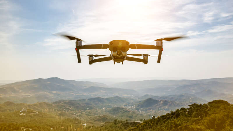
The Role of Technology in Forest Management
In Brazil’s Pará region, new roads are cutting through the pristine Amazon rainforest, opening up once-untouched areas to human activities. Expansive stretches of lush greenery are vanishing at an alarming pace, yielding to barren patches and freshly cleared land.
Meanwhile, far into space, the European Space Agency captures high-resolution satellite images of the region that unveil an important pattern: deforestation occurs predominantly near these newly constructed roads.
Back in 2016, it sparked a question: what if there were a tool to monitor these roads and forecast potential deforestation areas? Not long after PrevisIA was born.
In 2021, Microsoft with Vale Fund and the Amazon Institute for Man and the Environment (Imazon) developed a new AI tool called PrevisIA, to predict deforestation hotspots in the Amazon. Using satellite imagery from the European Space Agency and an algorithm developed by Imazon, the tool produces heat maps showing the most exposed conservation areas, Indigenous lands, and other settlements, along with rankings for states and municipalities.
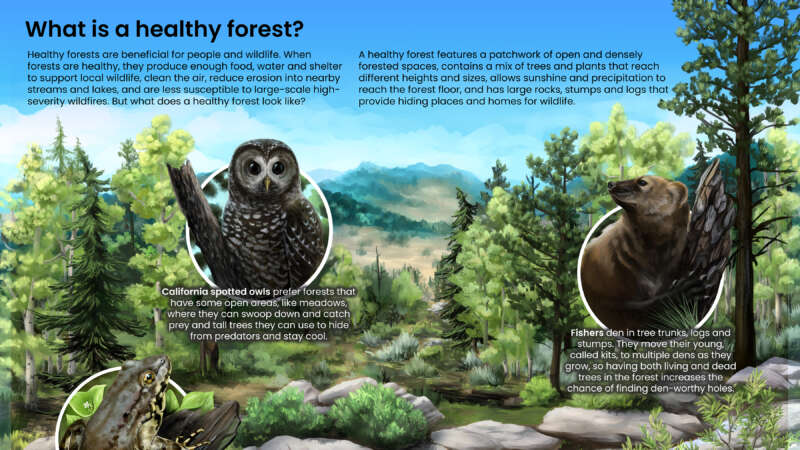
What is a Healthy Forest?
Healthy forests are beneficial for people and wildlife.
When forests are healthy, they produce enough food, water and shelter to support local wildlife, clean the air, reduce erosion into nearby streams and lakes, and are less susceptible to large-scale high-severity wildfires.
But what does a healthy forest look like?
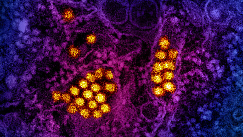
The Rise of Dengue: A Global Perspective
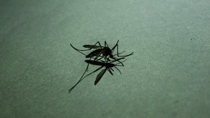
Around the world, dengue is considered the most common viral disease transmitted by mosquitoes that affects people. According to the World Health Organization (WHO), the disease is now endemic in more than 100 countries. In the first three months of 2024, over five million dengue cases and over 2000 dengue-related deaths were reported globally. The figures so far project that 2024 could be even worse than 2023, with the regions most seriously affected being the Americas, South-East Asia, and Western Pacific.
In the Americas, there were 6,186,805 suspected cases of dengue reported in the first 15 weeks of 2024. To put this into perspective, according to the Pan American Health Organization (PAHO), this figure represents an increase of 254% compared to the same period in 2023. Of these cases 5,928 were confirmed and classified as severe dengue.
Birds on the Brink
Hardly anyone visits the desolate outpost of Coldfoot, one of Alaska’s few communities outside the Arctic Circle accessible by road. Its 34 residents live in rustic accommodations along the Dalton Highway. The town’s highlights include an inn, a café, a gas station and a basic airport with a gravel landing strip. All day long, 18-wheeler fuel trucks thunder by on supply runs between Fairbanks and the oil fields of Prudhoe Bay further north. Some will stop to eat and tank up at Coldfoot because the next human habitation is 234 miles away, a town grimly named Deadhorse.
They say Coldfoot got its name from the days of the 1900 Gold Rush when miners would come as far as this remote settlement before getting “cold feet” and turning back. It’s still a lonely place, but one unexpected visitor showed up recently inside an infected Swainson’s thrush (Catharus ustulatus): the avian malaria parasite, Plasmodium circumflexum.
In 2011, scientists tested 676 birds representing 32 resident and migratory bird species captured from three northern locations in Alaska: Anchorage (61°N), Fairbanks (64°N) and Coldfoot (67°N). In Anchorage and Fairbanks, they found 49 birds infected by Plasmodium parasites. In Anchorage, even resident birds and hatchlings of species such as the boreal chickadee (Poecile hudsonicus), the varied thrush (Zoothera naevia) and the fox sparrow (Passerella iliaca) were found infected. The parasite was also detected in black-capped chickadees (Poecile atricapillus) and a myrtle warbler (Dendroica coronata coronata) in Fairbanks, indicating that transmission had occurred locally.
How Climate Change is Spreading Malaria in Africa
Warming temperatures are chasing animals and plants to new habitats, sometimes with devastating consequences to ecosystems. But there is little evidence regarding how far and how fast the invaders might be moving.
A new study offers a glimpse of the future by looking to the past. Mosquitoes that transmit malaria in sub-Saharan Africa have moved to higher elevations by about 6.5 meters (roughly 21 feet) per year and away from the Equator by 4.7 kilometers (about three miles) per year over the past century, according to the study.
Guardians of the Forest
In September 2018, indigenous and local community leaders from Latin America and Indonesia, the Guardians of the Forest, travelled to California with a mission to …
