Forests
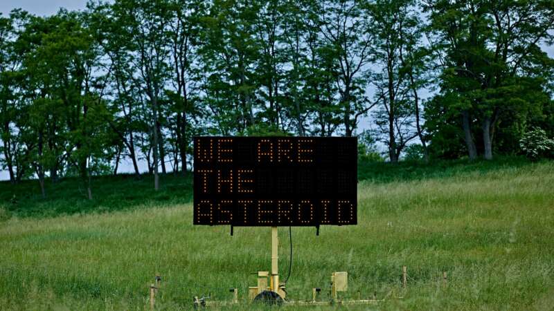
Justin Brice Guariglia: A Visual Provocateur
tin Brice Guariglia moves fluidly between art, science, and activism, all the while creating work that pushes its viewers to face the realities of a rapidly shifting planet. His practice grows out of collaborations with scientists, writers, and thinkers.
Guariglia’s perspective was transformed in 2015, when he joined NASA missions over Greenland to document its melting ice sheets. Seeing the scale of change firsthand reshaped his artistic direction and led to deeper partnerships with climate researchers. These experiences have since fed into everything from large-scale public installations to digital projects exploring sea-level rise. His ongoing work with research institutions and climate-focused organizations shows his genuine commitment to bridging scientific knowledge and public understanding.
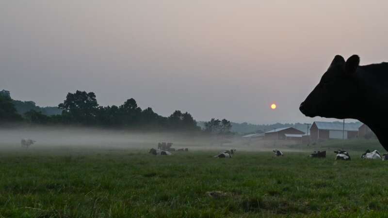
Your Grass-fed Burger isn’t Better for the Planet
For years, ranchers and some conservationists have argued that grass-fed beef is better for the planet than conventional cattle.
But a study published [March 2025] in the Proceedings of the National Academy of Sciences challenges that idea, finding that cattle raised only on pastures do not have a smaller carbon footprint than feedlot cattle, which are quickly fattened on corn and other grains. This held even when the researchers took into account that healthy pastureland can help capture more carbon by pulling it out of the air and storing it in roots and other plant tissues.
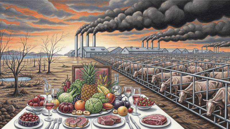
How Your Plate Affects Your Planet
Humanity’s growing demand for animal meat is driving a planetary crisis, accelerating climate change, devastating ecosystems, and threatening public health.
Two grim, almost surreal, 26-story buildings tower over the southern outskirts of Enzhou, about 500 miles west of Shanghai in China’s Hubei province. No one would mistake them for apartment complexes despite their neat grid of window-like slots. Indeed, their main inhabitants are not human at all. The buildings are designed specifically to meet the biological and reproductive needs of 600,000 pigs each. Here they will be bred, farrowed, fattened, and finally slaughtered to meet the exploding animal protein needs of China, which consumes half the world’s pork and is also its biggest pork producer.
It is the world’s largest vertical pig farm, designed to manufacture 54,000 tonnes of pork every year. The building’s design reflects its unique function. Each of its six giant elevators can hoist a load of 10 tons, or about 100 pigs, at a time. Every utility and process, from the building’s water supply, electricity, and air conditioning, to its automatic feeding machines and smart air filtration and disinfection systems, can be monitored and controlled centrally from a NASA-like command center on the first floor. A stupendous amount of pig manure is processed daily in a biogas-driven waste treatment system and turned into electricity for lighting and heating the buildings. About 400 such ‘pig-rises’ could meet a part of China’s and the world’s growing appetite for animal proteins.
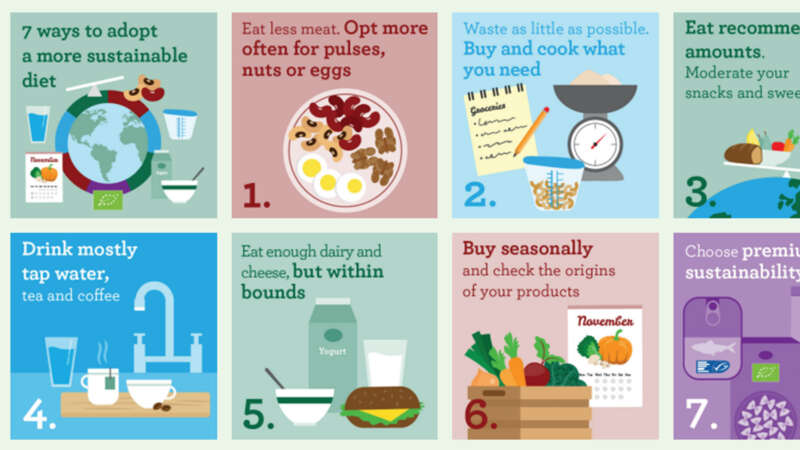
7 Steps to a More Sustainable Diet
Here are seven steps to a more sustainable diet.
Did you know that food production contributes about 21-37% of human-caused emissions?
To reduce your climate impact, eat more plant-based foods and reducing meat and dairy consumption, as these require fewer resources and produce fewer greenhouse gases.
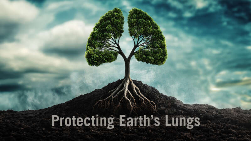
Protecting Earth’s Lungs
Forests act as the planet’s terrestrial lungs. They provide us with fresh air, clean water, beautiful vistas and a sanctuary for countless wildlife.
But, today, more than ever, our forests are facing unprecedented threats from disease, climate change, mad-made destruction and harmful pests.
Join this documentary as it follows a group of professionals that developed, tested and formulated today’s forest health strategies to preserve the legacy of one of the planet’s most important resources – and to help us better understand and appreciate why we need to protect our forests.
This is a story that affects us all.
Reforesting the Planet, Restoring the Future
The preservation of the planet’s biodiversity relies entirely on how we manage and interact with the world’s forests.
Reforestation is a critical strategy for mitigating climate change because it increases the Earth’s capacity to absorb carbon dioxide (CO₂) – the main greenhouse gas driving global warming – while also enhancing ecosystem resilience.
In particular, we look at recent studies investigating the most cost-effective approaches to reforestation and the mitigation of climate change. For many years, forest managers have been asking which is best: allowing forests to naturally regenerate, on the one hand, or to plant new forests?
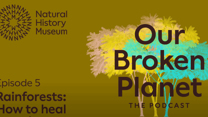
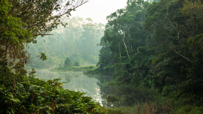
Our Broken Planet: How to heal our rainforests
Breathe in. Breathe out. The oxygen flowing through your body is the result of photosynthesis: the natural process through which living things convert sunlight into energy. About 30% of land-based photosynthesis happens in tropical rainforests. Rainforests are also great at sucking up excess carbon from the atmosphere – something we know we’ve got to do more of.
But in recent years, rainforests have been getting constricted: shrinking in size and choked up with smoke.
Listen to this podcast from the National History Museum to find out what’s going on and how we can help rainforests breathe deeply again.
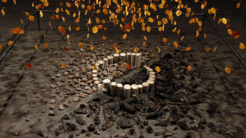
Bryan David Griffith: Art Born from Fire, Fueled by Purpose
Bryan David Griffith tackles big questions with simple materials. His art examines the tension between nature and culture, chaos and control, and life and loss. His engineering background brings a problem-solver’s mindset to his creative process, often inventing new techniques to serve each concept.
Griffith didn’t take a typical path into the art world. While studying at the University of Michigan, he found a beat-up photo manual, built a darkroom, and started experimenting. Later, disillusioned with a consulting job and its environmental impact, he quit, bought a van, and hit the road to become an artist.
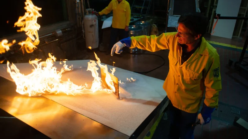
Dr. Mark Finney: Changing How We Fight (and live with) Fire
Dr. Mark Finney is a Senior Scientist and Research Forester with the U.S. Forest Service at the Missoula Fire Sciences Laboratory. With a Ph.D. in wildland fire science from UC Berkeley, Finney has spent decades exploring fire as both an ecological force and a physical process. His work has laid the foundation for many of the wildfire behavior models used today across the country.
Finney is a strong advocate for rethinking traditional fire suppression strategies. He emphasizes the need to let “good fire” play its role in the landscape, using tools like prescribed burns and targeted fuel treatments to prevent more extreme fires down the line. His research has revealed that long-held beliefs about how fires spread, such as the role of radiant heat, are often incorrect.
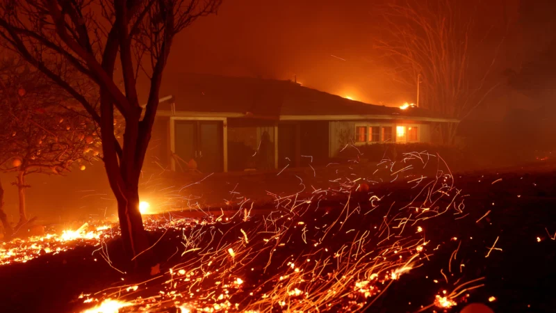
A New Kind of Urban Firestorm
Everything around Walker Savage was smoke. Smoke and embers and broken tree limbs and the relentless roar of the wind. Wearing a respirator and goggles from his woodworking studio, he sprayed his garden hose into the gale, hoping to wet the walls and porch of his 99-year-old adobe house enough to keep them from igniting.
But then he saw the flames come surging down the mountain above his home in east Altadena, California: “It was like an avalanche,” Savage said. “But not of snow — it was of fire.”
More than a week later, Savage is still trying to wrap his mind around the Eaton Fire, which killed at least 16 people, destroyed an estimated 7,000 structures and is still only 45 percent contained. The flames moved faster than firefighters could fight them, reaching deep into the suburb to scorch houses well outside the state-designated risk zone.